

IRIS for Cities
See the city. Then act on it.
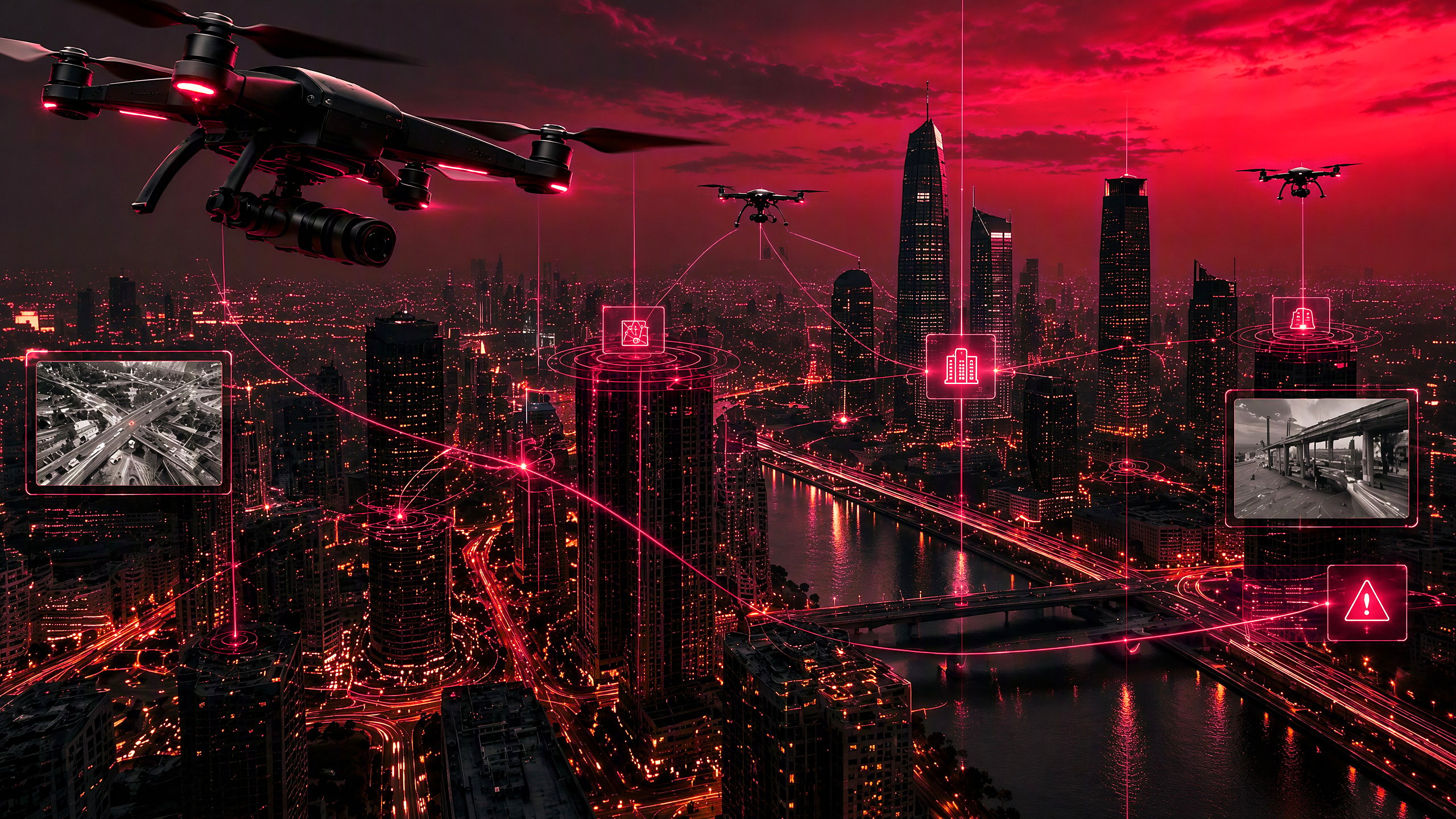
IRIS connects a city's sensors, drones, traffic systems and responders on one orchestration layer. It is built to take a team from what it sees to what happens next, with a person authorizing every step.
From visibility to action
Seeing the data is not the same as acting on it.
Command center software helps a city see what is happening. IRIS is built for what happens next. When a sensor flags an incident, IRIS is designed to send the nearest drone, change a traffic signal plan and route emergency crews, once a person authorizes it.
Not another dashboard. The layer that acts.
The problem
A city does not live through an emergency department by department.
Traffic management, emergency services, public safety and transportation often run on separate systems. Drones and sensors collect information that never joins a unified response. In a major incident, decision-makers move between applications before anyone can act.
The problem is not a lack of technology. It is a lack of coordination.
How it works
Five steps. One human decision.
01
Detect
Sensors, cameras and drones report an incident to one shared picture.
02
Understand
IRIS brings each department's information into one operational context.
03
Prioritize
Policy and mission context decide what needs attention first.
04
Authorize
A person approves the response. Consequential decisions stay with people.
05
Act
IRIS routes the action to connected systems: a drone, a signal plan, a crew.
 Simulated interface
Simulated interface
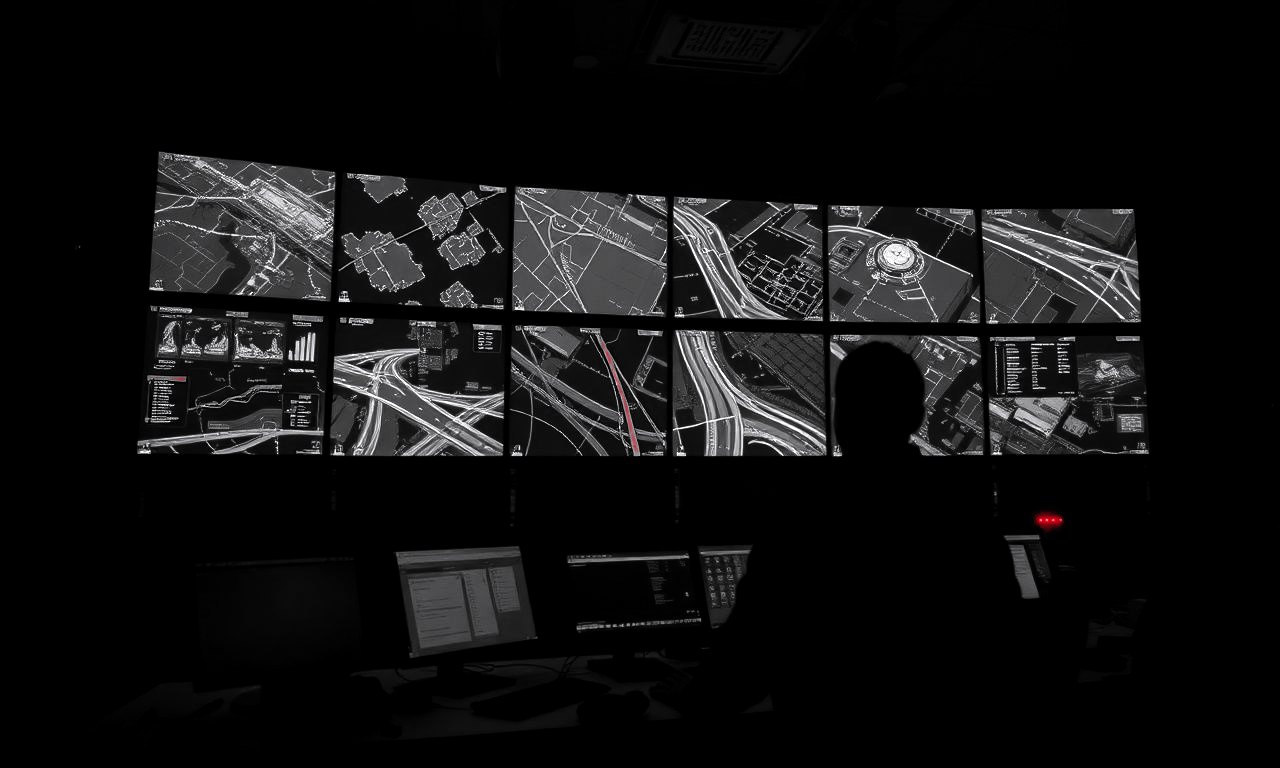
A city command center, in the operator's field of view.
The IRIS wearable interface built for defense operators is designed to give a city commander the same view: incidents, assets and system status across the city. Designate with a glance, a gesture or voice. Authorize. Connected systems carry it out.
Where it applies
Not ten dashboards. One operational picture.

Emergency response
Evacuation routes, shelter capacity and responder locations in one operational picture.

Public safety
Police, fire and emergency services working from the same picture.

Transportation
Traffic management, transit and connected infrastructure coordinated in real time.
Critical infrastructure
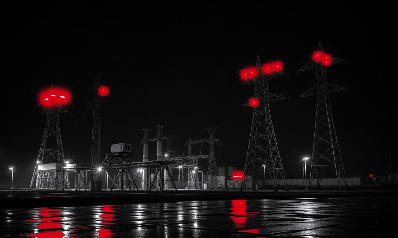
Energy, communications and transport depend on each other. IRIS connects them with clear boundaries.
Omni Cities
A digital nervous system for the city.
Human control
Orchestration can be automated. Accountability cannot.
Human authorization
Consequential actions need a person's approval.
Policy-bound
City rules are explicit controls, not left to an AI model.
Auditable
Actions are logged and can be reconstructed for review.
Manual override
Operators can step in whenever conditions require it.
Vendor-neutral
Works with the systems a city already runs. Deploy by integrating, not by ripping and replacing.
Dual use
The same orchestration layer, from the battlefield to the city.
IRIS for Cities runs on the layer built for IRIS for Defense. The core engine has been tested end to end in a closed environment using simulated systems. Wearable integration, platform validation and customer evaluations are the next milestones.
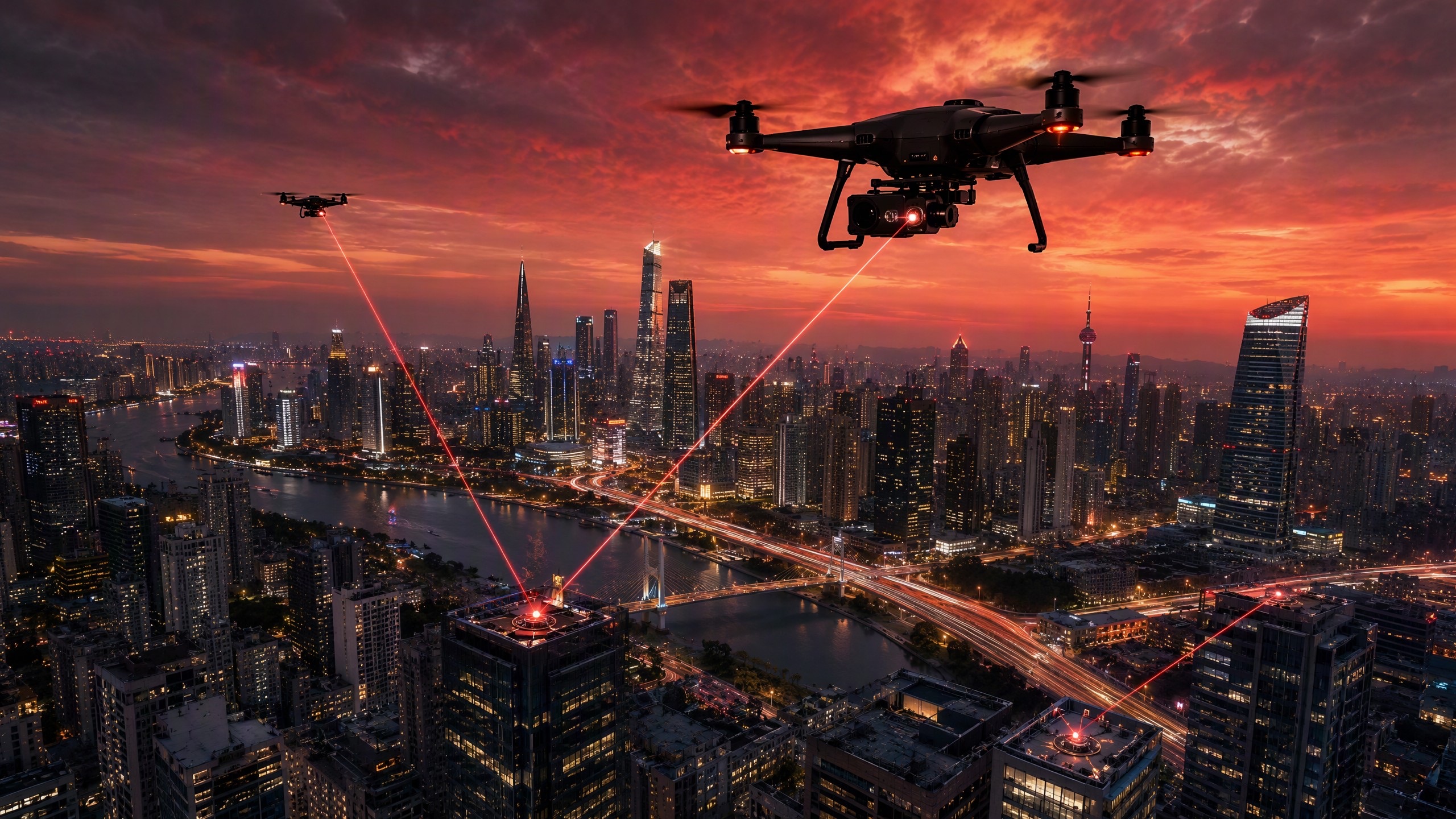
The objective is not autonomous government. It is coordinated government.
Briefings are open to mayors, city managers, emergency management and public safety agencies.